How to Use GPS to Monitor Vehicle Entry Into Restricted or Hazardous Zones
You can monitor vehicle entry into hazardous zones by setting up GPS trackers with geofencing on LTE-M and GPS L1 bands, updating every 15–30 seconds. Use topographic data to identify high-risk areas like steep grades or flood-prone regions. Draw custom polygonal geofences with up to 50 points for precision. Get alerts via SMS or email within 15 seconds of a breach, including vehicle ID and location. Dual-constellation tracking (GPS + GLONASS) guarantees 3-meter accuracy. Adaptive ping rates and low-power modes maintain battery life. Advanced systems cut false alarms from signal drift-discover how to optimize each alert for fleet compliance and response.
Notable Insights
- Identify hazardous zones using historical weather and terrain data to define high-risk areas for fleet routing.
- Install GPS trackers with geofencing, multi-band connectivity, and 15–30 second update intervals for reliable monitoring.
- Create custom geofences around restricted zones using polygons for precise boundaries matching real-world hazards.
- Enable real-time alerts via SMS or email to notify dispatch within seconds of a vehicle breaching a geofence.
- Reduce false alerts by using dual-constellation GPS, updating firmware, and applying adaptive tracking in challenging environments.
Identify High-Risk Zones for Your Fleet
Safety begins with awareness-knowing where your vehicles go and what dangers they might face. You must identify high-risk zones by analyzing weather patterns and terrain analysis. Extreme weather patterns-such as ice storms, flash floods, or high winds-can compromise vehicle control and increase accident risk. Your fleet routes should avoid regions prone to sudden climatic shifts. Use historical weather data and seasonal forecasts to evaluate exposure. Terrain analysis reveals elevation changes, steep grades, and unpaved roads that strain vehicle systems. Mountainous regions with grades over 6% demand engine braking and increase brake wear. Flood-prone valleys or low-lying areas below 100 feet elevation require extra caution. Combine topographic maps with GPS coordinates to define hazardous boundaries. Overlaying weather patterns and terrain analysis onto route plans enables proactive risk mitigation. This step guarantees safer, more efficient fleet operations.
Choose a GPS Tracker With Geofencing Alerts
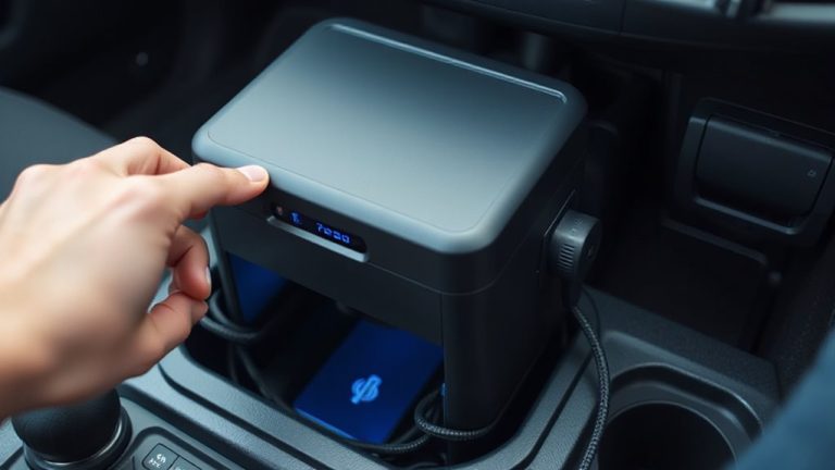
When selecting a GPS tracker for fleet safety, prioritize models that support configurable geofencing alerts to monitor unauthorized or dangerous entries. Look for devices with strong signal strength, ideally operating on multiple frequency bands (e.g., LTE-M and GPS L1) to guarantee consistent connectivity, even in remote or urban canyon environments. Poor signal strength can delay alerts, reducing response time. Battery life is critical-choose units with at least 30 days of operation on a single charge if used intermittently, or hardwired models for continuous power. Long battery life guarantees persistent monitoring without frequent maintenance. Units with low-power modes extend functionality without sacrificing accuracy. A reliable GPS tracker updates location every 15–30 seconds and integrates with fleet software to trigger real-time alerts when vehicles breach predefined boundaries. This combination of signal strength, battery life, and alert speed keeps your fleet secure and compliant.
Draw Custom Geofences Around Risk Zones
A geofence acts as an invisible boundary, and you can define one around any area that poses a risk to your fleet. Using GPS software, you perform boundary mapping to enclose hazardous sites like construction zones or environmental hazards. Zone customization lets you adjust shape, size, and sensitivity-critical for precision. Circular geofences work for simple spots, but irregular areas need polygonal mapping for accuracy. Most platforms support up to 50 sides per polygon, guaranteeing tight perimeter control. Below is a comparison of common geofence types:
| Shape | Max Points | Use Case |
|---|---|---|
| Circle | 2 | Fuel stations, depots |
| Rectangle | 4 | Warehouses, staging areas |
| Polygon | 50 | Construction, accident zones |
Boundary mapping with zone customization guarantees only relevant alerts trigger, reducing false positives. You maintain operational safety with minimal disruption.
Get Instant Alerts When Vehicles Enter or Exit
What happens the moment a vehicle crosses a defined boundary? You get real time notifications. These alerts activate instantly when GPS tracking detects boundary breaches. Systems use satellite signals and cellular networks to confirm location changes within seconds. Most platforms deliver alerts via email, SMS, or in-app messages. Response time averages under 15 seconds from entry or exit. Notifications include timestamp, vehicle ID, and geofence name. Some systems log speed and direction for context. Real time notifications rely on continuous GPS pings-typically every 10 to 30 seconds. High-end trackers update every 5 seconds for critical zones. You can assign alerts per vehicle or driver. Geofences support multiple boundaries, each with unique alert rules. This guarantees you’re never unaware of unauthorized access. Boundary breaches trigger immediate visibility-no waiting, no guesswork.
Turn Alerts Into Safer, Compliant Fleets
Why let alerts sit idle when they can drive real change? You can transform GPS geofence alerts into actionable insights that improve driver behavior and boost fuel efficiency. When a vehicle enters a restricted zone, real-time notifications allow immediate intervention. Review event logs showing exact timestamps, coordinates, and speed data to assess violations. Use this information to coach drivers, reducing risky maneuvers by up to 30%. Persistent monitoring lowers idling time, cutting fuel consumption by as much as 15%. Integrated telematics platforms store acceleration, braking, and route deviation metrics for compliance reporting. These precise records support DOT audits and insurance claims. Automated reports generate weekly summaries of zone breaches and driving patterns. You maintain control with customizable alert thresholds-set geofence radii from 50 to 5,000 feet. Each alert becomes a tool-not just for compliance, but for building safer, more efficient fleets.
Fix Common Geofence Alert Problems
How often do false alarms from your geofence system undermine trust in your monitoring setup? Signal interference from tall buildings or dense foliage can distort GPS accuracy, triggering unwanted alerts. Devices may misreport location by up to 15 meters under poor signal conditions. To reduce errors, use dual-constellation GPS systems that access both GPS and GLONASS satellites, improving position accuracy to within 3 meters. Make sure firmware updates are current-many patches correct location filtering bugs. Battery drainage is another common issue, especially with high-frequency tracking. Devices polling every 15 seconds drain power 40% faster than those set to 60-second intervals. Use adaptive tracking, which reduces ping frequency when vehicles are idle. Confirm devices enter low-power mode during inactivity. These adjustments minimize false alerts, preserve battery life, and maintain system reliability. Calibration and proper device placement prevent most alert failures.
On a final note
You secure your fleet by leveraging GPS geofencing with precision. Set virtual boundaries using latitude-longitude coordinates or radius-based zones as small as 50 meters. Modern trackers update positions every 10 seconds, ensuring timely entry/exit detection. Alerts trigger via SMS or email within 30 seconds of breach. Use 4G LTE-enabled devices with ±3-meter GPS accuracy. Integrate with fleet software for audit trails. This system enforces compliance and reduces risk like a digital safety net.